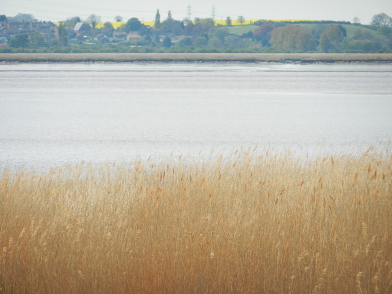
Following the last blog here a photo looking south from Brough Foreshore across the upper Humber Estuary to the village of Whitton. On the right the Lincolnshire Heights limestone escarpment tapering down to Trent Falls (off picture to the right), while the viilage of Alkborough stands about a mile south of the field of oilseed rape shown.
Off picture to the left a public right of way along the clay bank (flood bank) takes the walker on a long loop around the level expanse of Winteringham Marsh. Here the fertile estuarine silts soil has been utilised for intensive arable farming since the area was drained in the past. There is little here of biodiversity save the linear reedbeds of the upper inter-tidal area seaward of the clay bank. Perhaps the most interesting aspect of this area is to look north across the Estuary and to work out the sequence of ‘dales’ carved out of the southern face of the Yorkshire Wolds. Moving west from North Ferriby these are – (a) Melton Dale (sometimes called Swanland Dale) running south from Great Gutter Lane to Melton village, (b) Welton Dale running south from Wauldby to Welton, (c) Elloughton Dale, (d) Brantingham Dale running south from Riplingham to Brantingham village and South Cave Dale (a name not often used).
Winteringham Marsh is nicely shown in the bottom left hand corner of the O.S. Explorer map 293 ‘Kingston upon Hull and Beverley’.
The upper Estuary was always treacherous to navigation with the large mudflats of Whitton Sand, Pudding Pie Sand and Brough Sand shown on the above map. These will not now have the same configuration as shown on the map which was revised and printed in 2000.
The walk around Winteringham Marsh ends at the mouth of Winteringham Haven
to be continued.