My failure last year to re-do in sections a revisit walk around the Humber Estuary north and south banks is now coming back to haunt me. I didn’t get round to re-recording most of the south bank and now would loke to include them in this section. My previous photographic record of the Humber south bank is, unfortunately, on slides; I know the area but, currently don’t have many images to draw on. I did cover the south bank for the section east of the mouth of Skitter Beck (East Halton Beck) to Immingham Docks earlier last year.
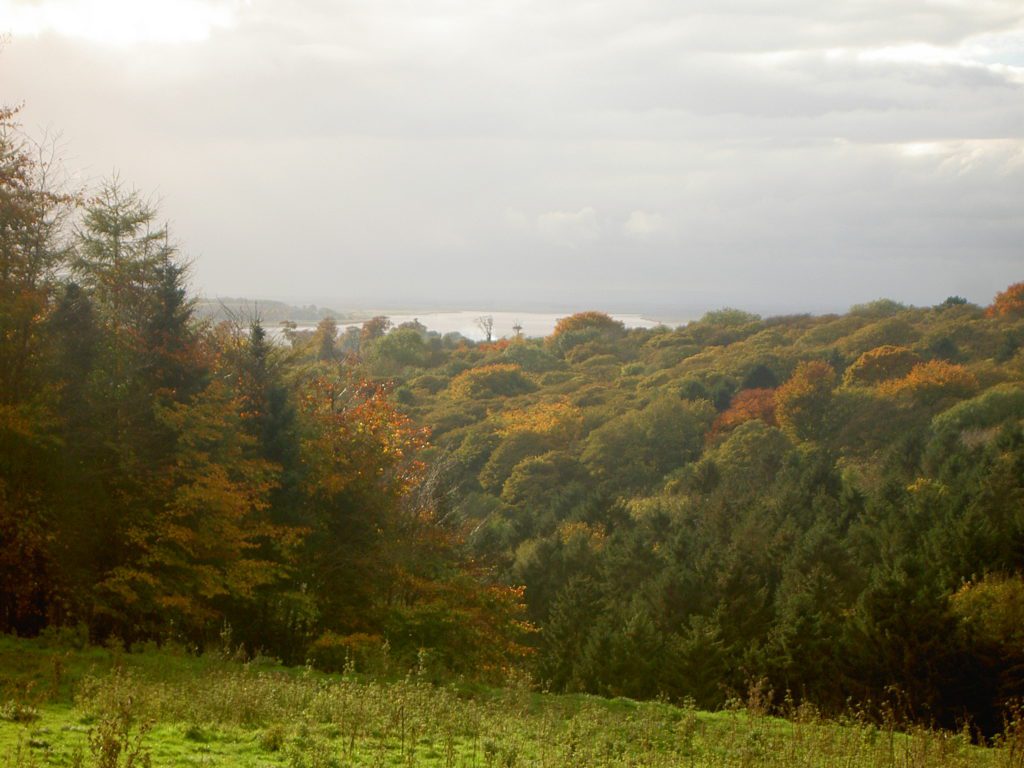
Anyway, the photo above shows a view south-west from above Welton Dale with Trent Falls (the confluence of the Rivers Ouse and Trent and the head of the Humber Estuary) in the middle distance with the scarp slope of the southernmost Lincolnshire Heights left of centre. Sitting at the top of the scarp slope is the village of Alkborough with its well known maze, church and some historic properties. The scarp slope here is very steep but a track leads down to an area known as Alkborough Flats, flood plain that up to 20 years ago was arable land flood protected by a clay bank; but the bank was then deliberately breached by the Environment Agency to create an area of ‘managed retreat’ meaning that is allowed to flood at critical times to reduce the flood risk in more populated sections of the Humber Bank.
There is a public right of way from Alkborough roughly along the top of the scarp slope north to Whitton, around the corner from Trent Falls. Along this section the grassland is often grazed while occasional hedgerows and a few trees add diversity. Above Whitton the slope becomes more gentle as here the slope is a product of the Estuary having sliced through the limestone escarpment. Before descending to Whitton village views over the Vale of York, and Wallingfen in particular, are to be had on a clear day.
The pastureland of the scarp slope contrasts with the arable land beyond the ridge.