Last Friday I managed to cover the walk from Thorney Crofts to Stone Creek having previously just got as far as Thorney Crofts from Paull on 2nd December 2022 (s.p.b. of that date). Although battling a cold wind the air was here clear and the views good, initially looking across the Humber to Killingholme Dock jetties, then Immingham Dock and deep water jetties and finally the first industrial sites dotted along the south Humber bank between Immingham and Grimsby. Along this stretch of the south Holderness coast only spring high tides reach the base of the clay bank tidal defence and a wide area of coastal marsh and saltmarsh stretches into the Estuary between Foulholme ‘Sands’ (see 2/12/’22) and ‘Sunk Roads’ (as named on the O.S. Explorer map 292). At the few places where a farm track accesses the base of the inland side of the clay bank it is clear that in the past some access and fencing existed across sections of this coastal vegetated zone presumably to allow cattle to graze (not sheep), although a good knowledge of tidal patterns would be needed on the part of the farmer. Nowadays arable crops predominate, although on walking back to the starting point along Cherry Cobb Sands Road I passed a field of sheep grazing on pasture.
On the issue of current land-use I was surprised to see a number of the fields immediately inland of the clay bank where the autumn stubble had/has been left untilled. A few years ago there was talk of the Environment Agency making this area another of the Humber’s Areas of Managed Retreat, but there may be another explanation.
The photo above shows a view looking back to Hull Docks in the distance with a section of coastal saltmarsh in the foreground. Past high spring tides have deposited much rubbish and timber at the base of the clay bank.
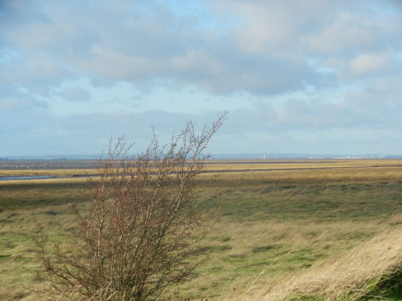
A lone thorn bush resists the gale.
(to be continued).