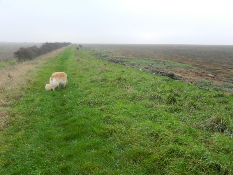
Walking the clay bank eastwards after having walked round the area of managed retreat at Thorngumbald Marsh is a lonesome exercise as the above photo conveys, inland (left) large arable fields with, as is the case nowadays, no sign of farm workers, seaward (right) of the clay bank expanses of saltmarsh and seagrasses with, at low tide, the water of the Estuary distant. It would not be a good place to suffer a stroke, if anywhere would, what of ambulance response times here! Yes, there are expansive views across the Estuary and inland, as well as expansive skies and various cloud formations. Inevitably, it is with some sense of relief that the communications tower at Stone Creek gets nearer.
So is this section of the Humber bank the most desolate (a descriptive term rather than pejorative)? If one could have walked the medieval flood bank before the reclamation of Cherry Cob Sands and Sunk Island the bank, assuming there was one then, would have been much nearer the settlements of Keyingham, Ottringham and Patrington and looking south the width of the Estuary would have been much greater, and with no heavy industry to focus on, seeing any specific details would have been very unlikely. Almost like looking out to sea. A similar situation exists today when standing on the east or west coasts of the Wash, particularly when looking west from Hunstanton where the far bank is just visible in clear weather but identifying details with the naked eye is very hard.
The section of the south bank around Winteringham Marsh is similarly lonesome but there the opposite bank is much nearer as is Winteringham village inland, sited at the foot of the Lincolnshire Heights limestone escarpment.
(to be continued)