The book introduced in blog 12 of this run (published 1841) deals with the Humber across pages 62 to 69. The section is divided into two parts, a description of the aids to navigation then in use and the main mudflats, the second section giving detailed advice on navigating the Estuary from Spurn to Hull (no further up-Estuary s.p.b.).
Distances are constantly being recorded in miles and in segments of miles. Being neither a mariner nor any good at maths I wonder how a ship’s captain or pilot would be able to know these distances in 1841 except by common usage. Also the writer (anonymous, s.p.b.) uses the terms ‘flat’ and ‘shoal’ which seem to me much better than ‘sands’ or my term mudflats.
To take a succession of points in turn –
The first paragraph mentions both the ‘high light-house at Spurn’ and Patrington church. The high light-house seen on Spurn in 1842 would not have been the one seen today (built 50 years later) but rather the one designed by Smeaton. The reference to both Patrington church spire and to Great Grimsby church points to the fact that church towers, still prominent in the early industrial landscape, still had a role in terms of aids to navigation as across previous centuries (see my study on this issue in section three of this website). A 50 feet high wooden beacon existed at Donna Nook to aid navigation into the Humber from the Lincs. coast (see earlier blogs in this series). Unsurprisingly the author refers to the ‘Stone Banks’ south of Spurn Point (this gravel later dug by the crews of sloops that were ‘rested’
on the banks at ebb tides were filled with gravel for selling).
(to be continued)
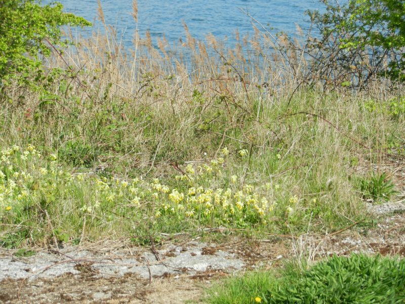
Today’s photo shows a bed of cowslips in flower on the bank of Welton Water, a tonic on these grey mid-winter days (except it’s not mid-winter these days but early winter).