The section of the book on the Humber (s.p.b.) having described Stony Banks goes on to warn mariners of three rocky ‘knolls’ at south of Stony Banks that break the surface of the Estuary at low tide, particularly the low tides following spring tides. I have not come across this reference before so I guess the ‘knolls’ have been eroded down since 1842. The author goes on to state that ‘The entrance of the Humber is also distinguished by a floating light vessel’, this being a predecessor of the one soon to be moored at the north-west corner of the Marina (s.p.b.s). Apparently in 1829 the Corporation of Trinity House, Hull had to warn ship’s captains of severe penalties if their ships were allowed to collide with this lightship as had happened too often up to then.
The writer goes on to describe how to negotiate around the main ‘sands’ of the lower Humber – Clee-ness Sand, the Middle Bank, the Burcom, Trinity Sand, Foulholm Sand, Halton Bank and The Skitter Sand. In discussing Trinity Sand he refers to the very extensive ‘sands’ around the then Sunk Island and the surviving channel leading through to Patrington Haven (this whole are is low cultivated land but retaining the names Sunk Island and Cherry Cobb Sands).
Historic navigational maps (much easier to interpret than the descriptive system used in this book) usually named the ‘sands’ at the time the map was printed. It is/would be interesting to trace the history of these changing mudflats across time, and to today, although such an endeavour might not attract great interest!
The text then goes on to discuss ‘the Humber Lighthouses’.
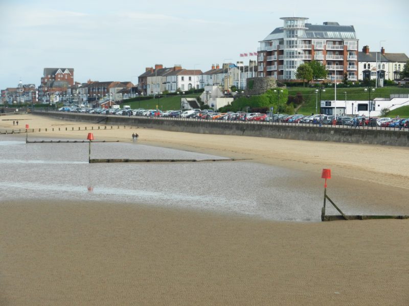
Today’s photo shows Cleethorpes front and associated groynes. In 1841 this was no more than a section of coastline bordered by sand dunes with a couple of fishermen’s huts to leeward. How interesting?
(to be continued).