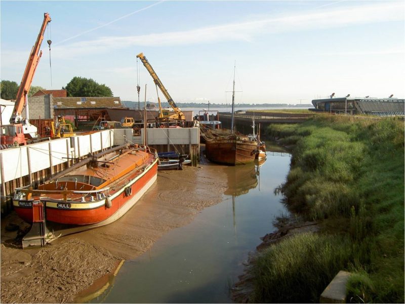
Continuing east along the south bank of the Humber Estuary from the Lincs. Trust building (see blog 33) and passing under the Humber Bridge the ‘Point’ is arrived at, this being the Humber Bridge viewing area with seating, car park and cafe. Just inland a footbridge crosses Barton Haven (see above), the boatyard being on the site of two ferry jetties from which sailing ferries crossed to Hessle and Hull from the Middle Ages to the 1850s.
The clay bank to the east of the Haven can also be walked and beyond one of the two remaining ’tile yards’ passes a further series of lakes just inland of the bank. These were a product of later diggings than those west of the Haven, mostly 20th century, and excavated mechanically to extract clay suitable for the brick yards in Hull, being transported across by barge. These lakes tend to be more open water with reedbeds just on the fringes as beyond the water is too deep for reeds to develop. Earlier water areas west of the Haven were usually dug by hand in the winter months when the cold weather made brick making problematic. The expansive water bodies are home to many wetland fowl with the reedbeds along the banks providing a suitable environment for small birds. This series of wetland areas continues up to Barrow Haven, beyond which only one vestige is to be found on Goxhill Marsh.