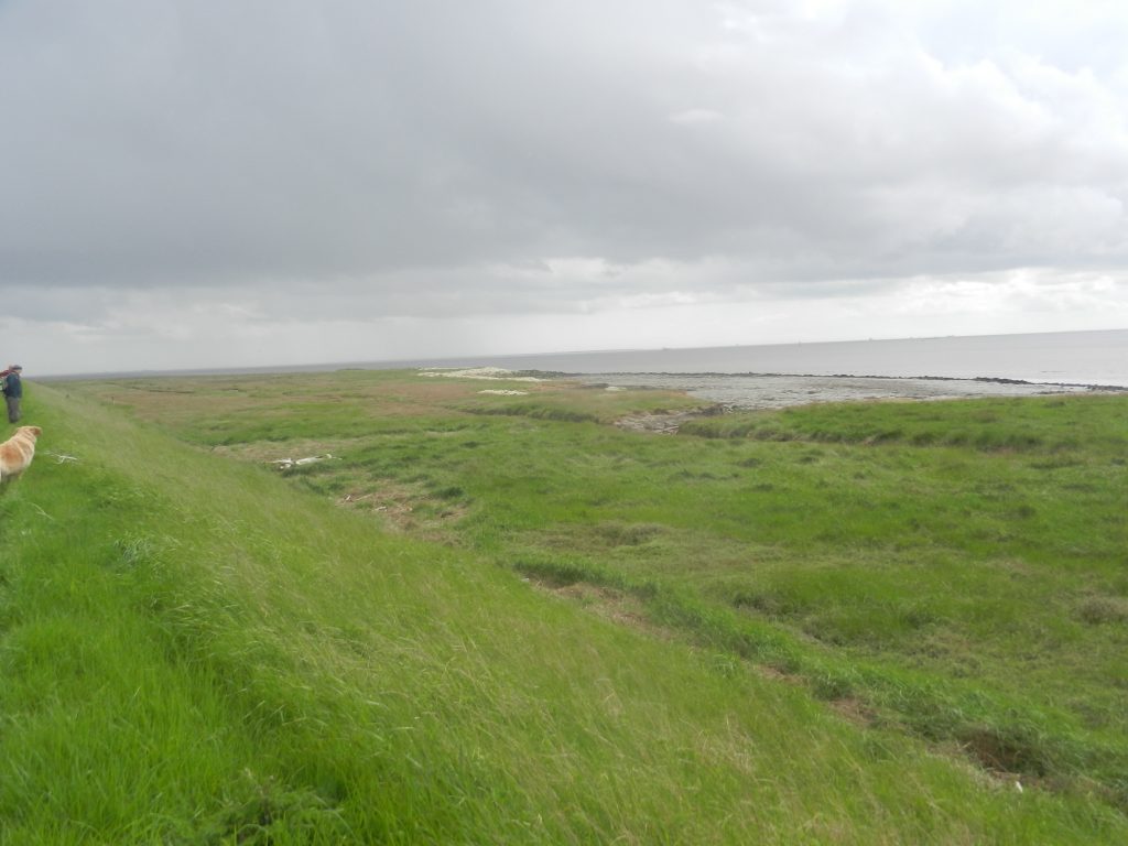
At Hawkin’s Point (s.p.b.) there is no obvious reason in the landscape as to why it should be named on maps, and no information board. However, there is a line of chalk stones at the high water line which are unlikely to be a natural feature; there is a bit of an inlet and the end of a track which clearly leads to this point from inland, possibly the village of Patrington, and east of this point there is a parallel clay bank 100 yards inland with the area between the two clay banks remaining as scrubland.
If any reader can provide some information on this bit of the south Holderness coast it would be much appreciated.