The third section of the south Holderness coast walked, introduced by the previous blog/post, is the bottom section of Sunk Island, the vast area of land ‘reclaimed’ from the Humber mudflats over the past few centuries. This being so the region is all but flat, the estuarine silts providing some of the most fertile arable land in Britain and still, I think, in the ownership of the Crown (this written the day after the coronation of King Charles III). Most of the farmhouses and labourer’s cottages have the crown emblem in relief on the front exterior wall. 500 years ago, for example, to walk the south coast of Holderness would have been to walk two or three miles inland skirting the villages of Keyingham, Ottringham, Patrington and Easington. The south bank would then have had none of the industrialisation seen today, would have had no clear identification features and would have been little more than a hazy line on the horizon.
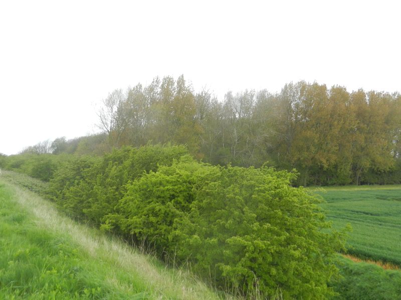
The section walked had little to break the potential monotony of the inland flat arable fields (incidentally, with very few field boundary hedges), the cross section of the clay bank and the muddy foreshore beyond except that occasionally a planted patch of woodland just inland of the clay bank was encountered (see below), these like little islands of increased biodiversity. Sadly some of the relatively young trees were in a sad way, the reasons for this not being clear.
Few points along this coast are identified on O.S. maps but one was Hawkin’s Point, about which I knew little.
(to be continued)