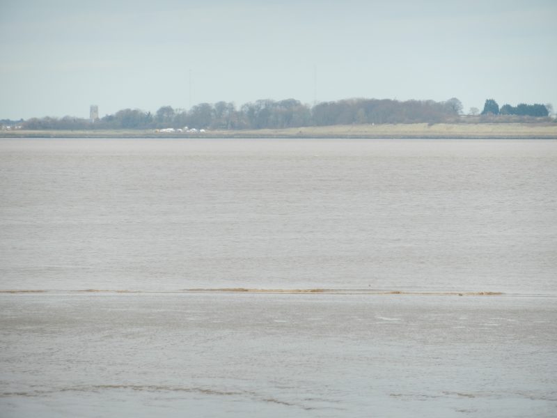
Recently endured a bitterly cold north-west wind to walk another section of the Humber bank, this time on the south bank. This stretch was from the mouth of East Halton Beck (sometimes called East Halton Skitter) eastwards to Killingholme Dock. This ‘dock’ is not actually a dock but two jetties out into the Humber along which ‘tugs’ load or unload containers from ships anchored at their end, usually two but have sometimes seen three ships. On the shore are large storage areas and warehouses plus at least one area of hard standing for imported cars. The Humber bank public right of way passes by the landward end of the jetties and a walker has to be very careful of passing tugs as they stop for no man. East Halton Beck is a considerable water course, has its source in the dip slope spring line of the Lincolnshire Wolds and its lower course meandering across the Humber floodplain. The photo above shows the mouth of the Beck at low tide when large banks of estuarine mud are revealed. The view is looking north across the Estuary with High Paull/Paull Fort clear to see, the crossing tower of St. Augustine’s church visible on the horizon and part of Paull village shown extreme left. East Halton Beck would be tidal further inland were it not for a sluice gate constructed at the head of the mouth of the River. A linear reedbed is shown at high water level.
From here eastwards the sea defence is a stone-faced bank sloping to Humber with a cement promenade on top wide enough for one car to travel along. The landward side is a grassy bank. In effect it is usually only fishermen that actually drive down the promenade, these usually parking it angled passing points.
(to be continued).