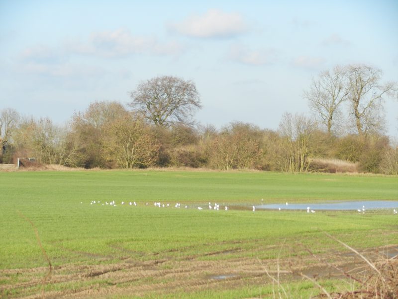
The photo above shows a location just beyond the east Hull/Sutton boundary known as Swine Castle or Bransholme Castle. It stands beside the disused Hull – Hornsea rail line, now a public right of way and cycle way. Below the shrubs in the middle ground is a moat that appears to have defended a central mound, motte(?). Beyond the motte are complex earthworks that may have been related to developments in the bailey. The early Norman Lords of Holderness needed their bases to be in well defended sites as, although they were rich and powerful following the redistribution of manors after 1066 they would need to be mindful of their personal safety in the face of potential disobedience from the Saxo-Danish population, especially after 1068 (Northern rebellion). A site in marshland might be thus appropriate so long as they had one causeway leading to the site, in this case from the higher land to the west known as the Sutton ridge.
Today Holderness Drain runs north-south just east of the castle site, this to exit into the Humber between King George and Alexandra Docks.
As regards the Heritage at Risk Register (s.p.b.s) Bransholme Castle is not listed but four other moated sites in south Holderness are listed (this out of a modest seven in south Holderness, the non-moat sites being St. Augustines church, Hedon, Paull Holme tower and one other – see later).
The most northerly of these moated sites in danger is at Bewick Hall in the parish of Aldbrough. In the Register its condition is described as ‘generally satisfactory’ but being damaged by scrub and tree growth. The Hall is north west of the village and is more correctly described as a farmhouse with a datestone of 1636 but with later additions to the structure. Ecological regeneration will tend to damage historic moats. (to be continued).