Todays photo shows a closer view of part of the moat and motte at Bransholme Castle.
Over the centuries a gradually more comprehensive network of drains across Holderness will have resulted in the boulder clays of Holderness in the moats drying more quickly than before and this will have affected water levels in historic moats unless they had been lined with puddled clay originally. In turn this would lead to more colonisation by trees and shrubs unless they were periodically cleared which is unlikely if the buildings once on the site had been abandoned.
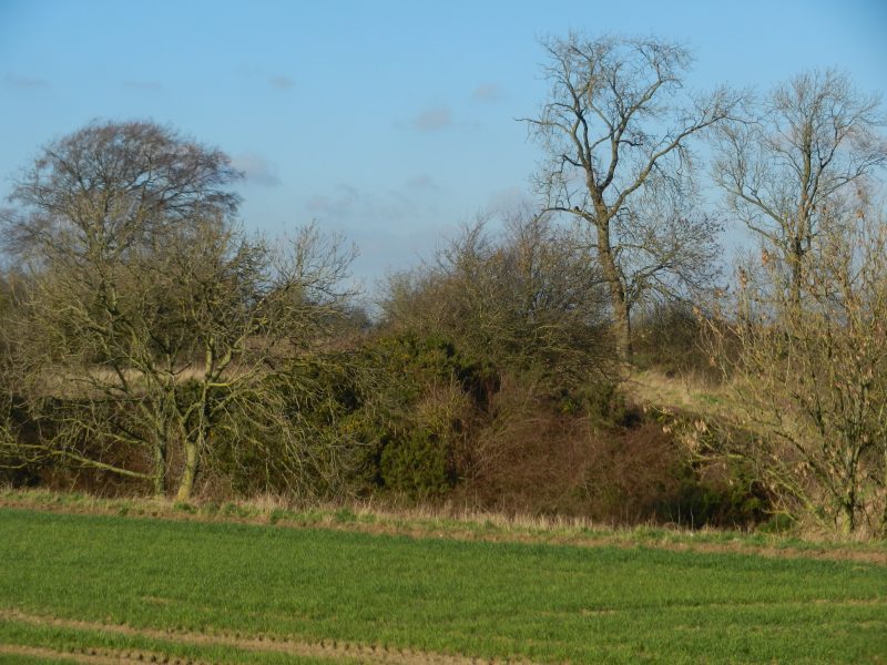
Another Holderness moated site considered to be at Risk is called ‘Shaw Fosse moated site’ in the parish of Humbleton, also considered to be at risk from scrub and tree growth. The moat here is sited across a field north-west of Humbleton Hall. It is rectangular rather than circular.
A third moated site in south Holderness is on land owned by North Park Farm in the parish of Burstwick, beside the road to Hedon. It marks the site of a significant castle/manor house of the 13th and 14th centuries oft visited by Edward I and Edward III during the Scottish Wars, the buildings only finally demolished in the early 19th century. Burstwick had been the base of the Lords of Holderness after Skipsea motte and bailey castle was abandoned.
Finally as regards moated sites at Risk there are/were two moated sites on the coast in the parish of Grimston north of Grimston Garth Hall. These are the only ones in this list that I am personally familiar with having seen them while walking the coast several years ago. They are shown on the relevant Explorer O.S. map as near the cliff top but the map was revised in 1999 so I suspect that they have now been lost to coastal erosion.
(to be continued).