Three good walks recently; twice from Brickyard Lane south of Melton developing modern industrial park (see above) and once through the shelter belt of mature trees that borders North Ferriby along its western edge. At the Humber end of Brickyard Lane a walker can turn left and either take the field edge path along the top of Ferriby Cliff, or walk the foreshore and examine the sandy cliff along the way. In either case one gets to the southern end of the shelter belt mentioned. Alternatively, at the southern end of Brickyard Lane turn right and follow the path just above the foreshore which eventually leads to Welton Water, and beyond to Brough; however, in places the undergrowth is quite dense and the path’s surface very rough. This whole section of the Humber path shows evidence of past industrial development, particularly brickyard clay diggings and the notorious Capper Pass smelting works (now gone). As with the Waters Edge site on the Humber bank at Barton (before it was cleaned up), topsoil severely contaminated with industrial chemicals has not prevented natural plant regeneration.
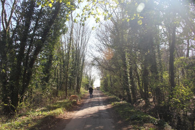
For much of its length the shelter belt is now sandwiched between the housing on the east side and the massive distribution centre to the west. However, a large planting of trees area between the shelter belt and the distribution centre will, in time, mask the building from the walk.
Ferriby cliff is a low sandy cliff-line replicated exactly on the south bank at South Ferriby cliff. I have speculated on the possible recent geological history before (see essay on Basic Geology in section three of this website). One feature, certainly on the south bank, is a row of sand martin nesting burrows, a feature also evidenced at Fraisthorpe, south of Barmston on the Holderness coast.
Soon after turning right from the end of Brickyard Lane there is ample evidence of the ex-brickyard’s use of bricks as a sea defence. Also a curious conifer plantation that must have been man-planted?