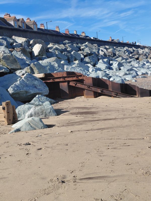
Today’s photo shows a section of the seafront at Withernsea with the large blocks of Norwegian granite breaking the force of the waves at the base of the concrete promenade.
Jeffrey’s map of the East Riding, 1775, shows the two ‘sister kirk’ communities of Owthorne and to its south Withernsea as two tiny communities, with the later over half a mile from the coast. The first 6inch O.S. map of 1852 shows the two hamlets still separated by three or four post-Enclosure fields and with the buildings of Withernsea then clustered where the southern part of the town now is. Two years later a railway line was completed between Hull and Withernsea as an offshoot of the Victoria Dock Railway in Hull. The line had originally been planned to terminate at Easington, a more substantial settlement, but Anthony Bannister, a wealthy businessman from Hull and the line’s main funder and advocate, changed his mind, probably to make the line more direct.
In fact Bannister’s development plans for Withernsea as a seaside resort only came later, the line’s original purpose being to transport agricultural produce to Hull’s Town Docks, especially as the port at Patrington Haven was being silted up with the expansion of Sunk Island.
It is often written that the open-air performance area now in the centre of Withernsea is the site of Withernsea Mere as shown on the 1852 6inch map. Certainly the mere is shown but not in the same position as the present day performance area. It seems likely that the actual mere was lost to coastal erosion in the late 19th century. Either that, or the present low-lying area is remnant of a shallow mere that didn’t qualify as a landscape feature on early maps.