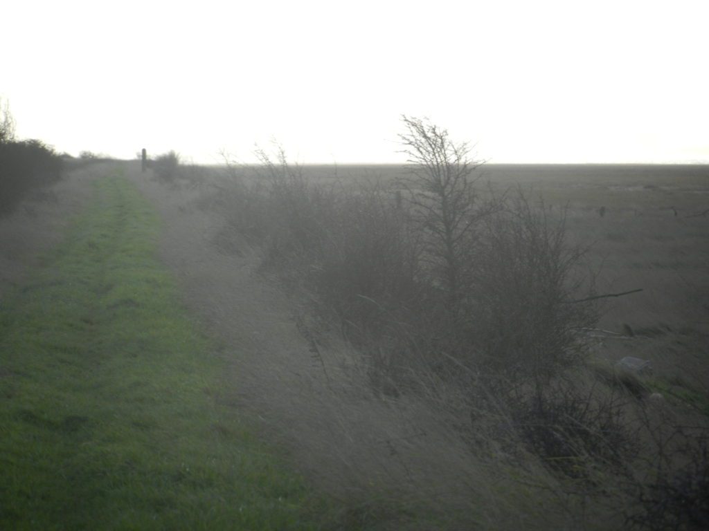
The photo above shows a section of the Humber Estuary north-bank clay bank between Thorngumbald Marsh and Stone Creek on a particularly cold, grey February morning. I am, for this post, just picking-up on the mention of clay banks in the last post and have probably written about this before. The bank here almost certainly post-dates the 1953 Floods when most of the flood defences round the Humber were strengthened; it is about six feet in height with a slightly gentler slope on the seaward side (right side) than on the landward side. Furthermore a deep ditch on the landward side was almost certainly excavated after 1953.
Banks such as this are far more substantial than any medieval clay banks. There is some evidence to show that the linear clay banks of centuries ago, built on the instructions of the local landowner or parish, had an elevation similar to that above. The slope facing the sea would have been gently sloping to reduce the likelihood of undercutting by storm tides, while the landward slope was steeper to reduce land lost from pasture (that stated, in Barton parish the 2013 flood was so powerful it undercut the landward slope of the reinforced clay bank). Probably the medieval clay banks were built-up from soil dug on the landward side, as above, however, some suggest a channel on the seaward side could have been more effective. There are a couple of sources of documentary evidence about the dimensions on medieval clay banks; usually about four feet high and much narrower at the top than at the base. Often the first documentary evidence of clay bank dimensions came firstly with the parish Enclosure Awards.
With these early flood defences it is clear that they were being built to hold back normal tides, storm tides almost inevitably broke through. I think coastal communities were resigned to periodic flooding.
(to be continued).