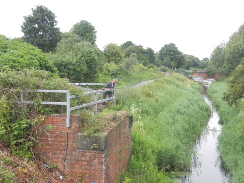
The photo above shows another section of Barmston Drain showing luxuriant summer growth, before the reeds were dredged out s.p.b., both along the drain banks and along the embankment to the left of the footpath. The view is looking north from a foot/cycle bridge over the Drain with the ‘narrow bridge’ at the eastern end of Stepney Lane in the middle distance.
This is a site which has confused me for some while, there being two sets of brick supports for bridges which once existed and within a few yards of each other. I think I have now unravelled the story and, like a number of other sites in Hull (see my article on the History of Hessle Common), reflects the huge impact that the railway age had on urban and suburban landscapes. The bridge support shown in the photo carried a rail line over Barmston Drain which led directly to the goods sheds the buildings of which still stand beside Wincolmlee to the east of this point, but which are now used for industrial/commercial purposes. These goods sheds were roofed by a series of arched sections somewhat in the style of Hull Paragon Station, but far less grand. The bridge supports for the bridge on which I was standing to take the photo carried the multiple tracks of the Victoria Dock Railway which encircled the northern part of the then town. These two bridges crossed Barmston Drain west-east.
The embankment seen in the photo also carried a rail line this being a spur from the later Hull-Barnsley Railway, which also encircled the then town, this spur leading south to Cannon Street station. Therefore nearby must have been a bridge which carried the high level rail line over the two earlier east-west lines evidenced above. Back in the later part of the railway age this spot must have been quite a location to watch the trains.
In terms of green corridors thank heavens that the embankment has been left despite the rail track being long gone.