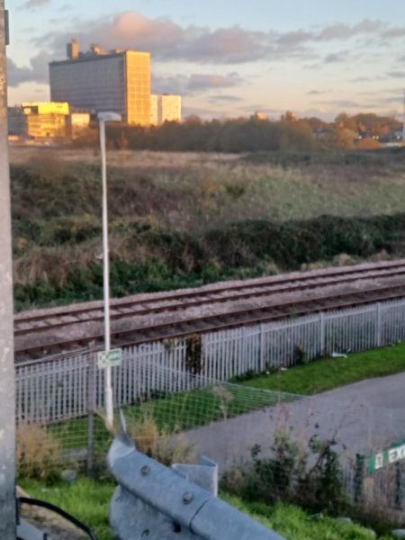
(Photo taken with phone rather than camera). The 1928 O.S. map shows an area of woodland/scrubland above the Scarborough rail line and next to the southern edge of Hymers College playing field, this extending south under (now) the footbridge to the Stadium from Argyle St. On this map it is named the ‘Wilderness’. The view above is taken from the Stadium end of the footbridge view south-east with Hull Royal Infirmary in the middle distance. This area is still a green area and, as may be seen above, has had a lot of young trees planted. Clearly there must be access to this area but, thankfully, it does not seem to be often used. The green area is best viewed from the elevated footpath leading to the Stadium.
I have not done a survey of the 20th century maps in Hull History Centre ahead of writing this blog/post so I cannot speak of why this area is as it is or whether it has ever been developed. Japanese Knot Weed aside it is an interesting green area as is the grounds of the Stadium and Trust gym complex (s.p.b.s)
Finally, I’m not sure if the rail line shown on the photo is much used, it seems to be a curve linking the main west in/out line with the Scarborough line, thus avoiding Paragon station but why? That said, the line itself seems to be maintained in tip-top condition and not neglected in any way.