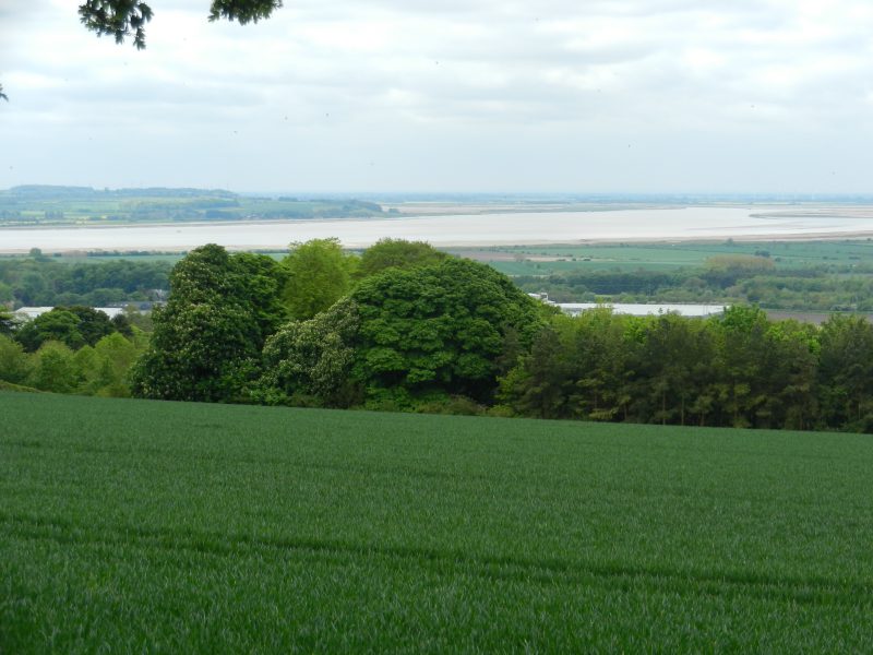
Today’s photo shows much of the upper Humber Estuary in the middle distance, this view taken from near the top of the scarp slope of the Yorkshire Wolds above the Ellerker area. On the opposite Humber bank the end of the Lincolnshire Heights (Lower Lias limestone escarpment which, in turn, merges into the Yorkshire Wolds in the South Cave/Hotham area), the mouth of the River Trent with the Vale of Trent beyond. On the extreme right just above centre is the end of the man-made ridge that separates the mouth of the River Ouse with that of the River Trent (see later). The photo at the front of this website taken from near the top of the Lincolnshire Wolds above Horkstow and looking to the upper Humber beyond Reed’s Island is also relevant.
The upper Humber was notoriously difficult to navigate. Standing on the Humber Bridge today at low tide and looking west up the Upper Humber the scene seems to be a mass of mudflats with the water channels in between seeming little wider than a ditch; so navigating the upper Humber, even at high tide, meant you were perilously near a mudflat just below the surface. So why were no lighthouses built on the banks of the upper Humber? Three answers could be suggested.
The upper Humber Estuary had been navigated for centuries before the 19th century but the commercial craft had been relatively small and of relatively shallow draught, these sailing into the extensive navigable river systems inland of the Estuary. No ships navigating the North Sea (German Ocean) sailed into the upper Humber, if their cargos were destined for inland markets then they were transhipped from Hull.
Secondly, until the 1830s no large port existed on the upper Estuary, Goole Dock being excavated in the 1820s by an inland navigation company.
Thirdly, (to be continued)