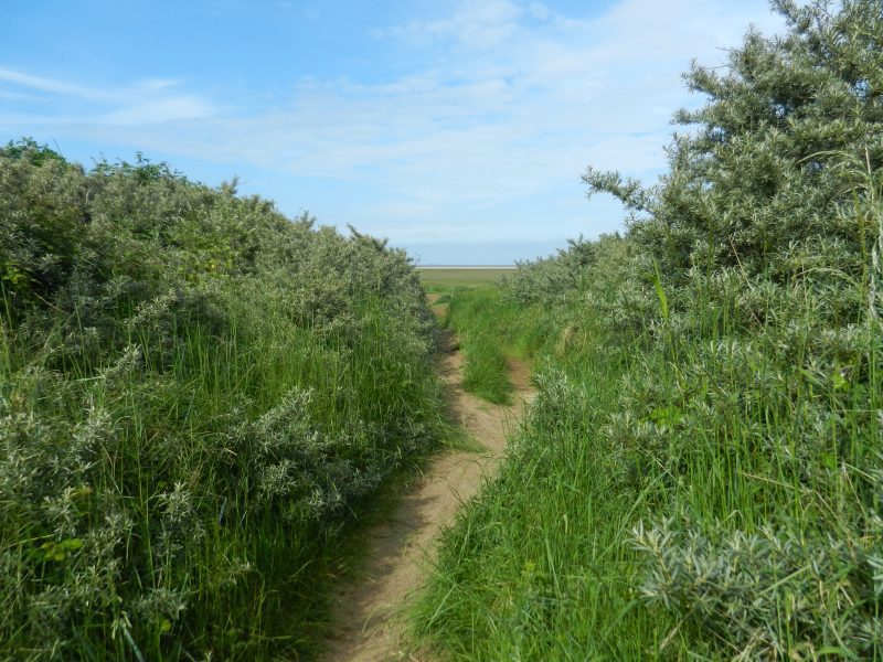
Today’s picture shows one of a number of paths through the line of old sand dunes along the lowland coast south of Cleethorpes Leisure Centre with the lowland coast seen beyond. Such paths, although convenient for people, actually are a weak point in the coastal flood defences, a combined spring tide and coastal surge would slice a wider gap here in no time.
When the writer of the article (s.p.b.s) mentioned the lighthouse (s.p.b.s) he was referring to the Spurn Lighthouse, still a coastal landmark today although decommissioned in 1985. This lighthouse was built in 1895 and replaced Smeaton’s previous high-level light built in 1767 which had been built a few yards away. The nearby smaller tower became the low-light for Smeaton’s high-light and remains today although now topped with an old water-tank. The keeper’s house was attached to the base of the 1895 tower but is now long-gone. I have written about the Spurn lighthouses before and stated then that I had seen restoration work in progress on the decommissioned tower and I still don’t know the outcome of that project.
The Major-General (s.p.b.s) tells us that in 1914 a group of top military personnel visited the Humber and decided to recommend two forts be built on sandbanks at the mouth of the Estuary, one on ‘Bull Sand’ off Spurn Point, the other on Haile Sand off the Lincolnshire coast.
Bull Sand proved the most difficult of the two to build owing to the great depth of fine sand above the bedrock, whereas at Haile Sand the depth of potentially unstable sand above the chalk bedrock was shallower. The foundations were to be ‘two concentric octagons of interlocking steel piles’ resulting in ‘eight quadrilateral spaces which, when complete, would be filled with concrete’. The author gives no diagrams or common-man explanations, so the technical stuff is hard to grasp. However, work on Bull began 1915 and at first wooden piles were sunk around the site on which a temporary platform was built to support cranes, concrete mixers and temporary worker’s housing.