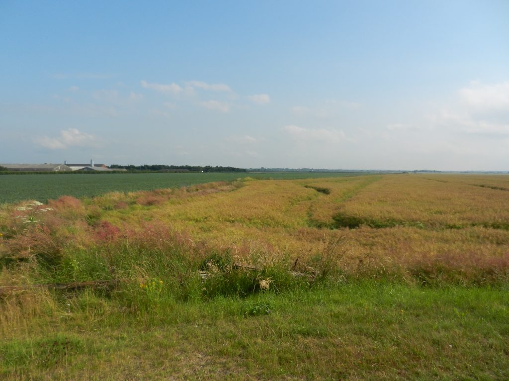
Today’s photo, taken while standing at the base of the Humber bank and looking south, shows part of the expanse of Goxhill ‘Marsh’. From the top of the clay bank and turning to face north the view couldn’t be more different with Hull’s Humber frontage seeming to be so close, this an example of the Humber Estuary’s divergent banks. Another example is that the agricultural windswept coast of Holderness faces across to the industrialised coast of North and North-East Lincolnshire (see below).
Following the Humber bank south-east the mouth of East Halton Skitter is the divide between the expanse of Goxhill ‘Marsh’ and that of East Halton parish. Hereon the flood defenses take the form of a concrete promenade making all-weather walking/cycling much easier. Apart from the no-entry sites of Immingham and Grimsby Docks, this promenade continues to Grimsby. Like the coast of Cherry Cobb Sands on the opposite bank, East Halton ‘Marsh’ has, until recently, been arable land but a big chunk is now a man-made nature area. Beyond North Killingholme Haven and port jetty the character of the Lincolnshire Marsh takes-on a very different image with the vast oil refineries beside the spring-line villages of North and South Killingholme dominating the landscape, this followed by the town of Immingham.
Up to the late 19th century the ancient village of Immingham nestled some way north of the dip slope of the Lincolnshire Wolds, but with the creation of the Dock in the early 20th century the built environment spread across the ‘Marsh’ towards the Dock, this creating the town.
Between Immingham and Grimsby the ‘Marsh’ is crossed by the M180 and nearer to the Humber bank can be seen a series of large-scale industrial sites, located alongside the Estuary for one reason or another.
Grimsby, like Hull, has evolved on level land, here the Lincolnshire Marsh.
(to be continued).