The Lincolnshire Marsh and Wallingfen will be the last two sections of this extended series of blogs.
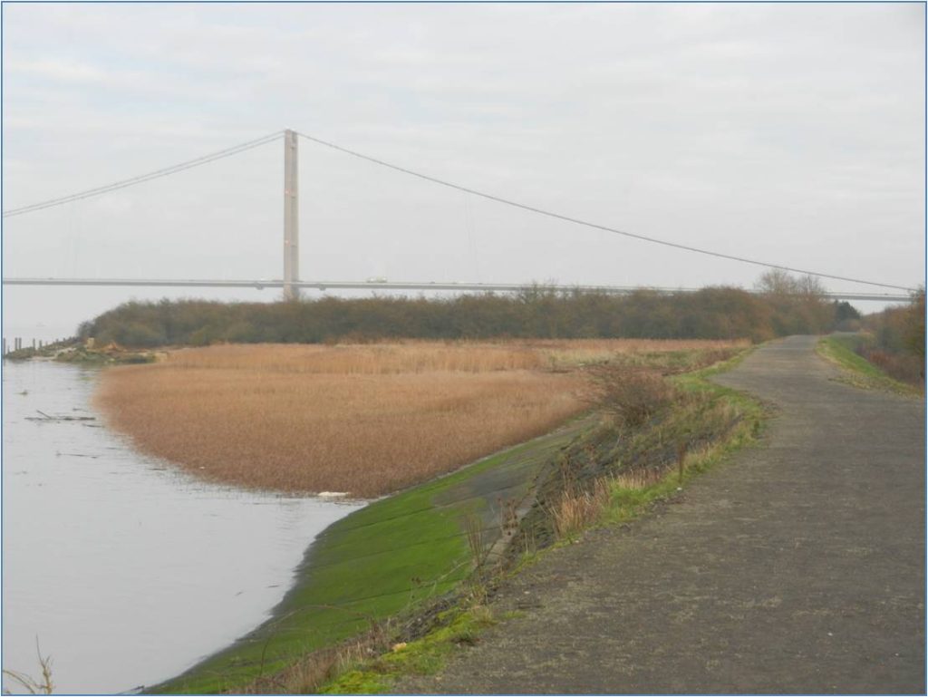
The term Lincolnshire Marsh refers to the lowland strip that edges the coast of North Lincolnshire, North-East Lincolnshire and the county of Lincolnshire. The photo above was taken roughly half-way between Barton on Humber and South Ferriby and shows a bit of the coastal footpath bottom left and the south tower of the Humber Bridge in the middle distance. In the centre is a reedbed (autumn photo, brown) through which shallow water ripples on the flow tide and which is the most northerly extent of the Lincolnshire Marsh. It is just into the parish of Barton on Humber, the parish boundary with South Ferriby being just a few yards away.
The Lincolnshire Marsh is land over which the tidal waters of the Humber Estuary flowed before the intervention of man-made clay-banks to hold-back this natural process. In the photo above the public right of way runs along the top of a reinforced clay bank but, in fact, in the natural landscape the tidal waters would not have flowed much further inland as right off-picture land begins to rise, this being the side of the valley formed through the chalk escarpment (s.p.b.s) by the Estuary waters, almost certainly in inter-glacial times.
The land of the Lincolnshire Marsh is a product of the deposition of Estuarine silts, this producing, when drained, a partcularly fertile soil. The reedbed above has been allowed to remain in its natural state. Beyond the reedbed is the dense undergrowth across a derelict industrial site. Betwenn the late 19th century and early 20th century a cement works was sited here. I have considerable notes on this industrial site, as yet not written-up as an extended article.
(to be continued)
