The Lincolnshire Marsh (s.p.b.s) has a history of flooding across many centuries. Here is a selection of recorded events’
1176 ‘sea burst forth – engulfing men and herds’, this extract from the Louth Abbey Archives.
1253 ‘Great flood from the sea’. This storm surge wiped out a string of low-lying coastal islands, now the foundation of modern wind turbines.
1347 Inundations from the Humber caused flooding in Barton and Goxhill. Goxhill village is three miles inland.
1570s ‘the violente and tempestuous rage of the waters of Humbre’.
1762 ‘violent weather’, recorded in Ball’s ‘History of Barton’, 1856.
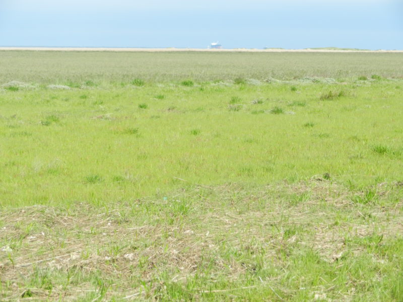
The photo above shows part of the coastal lowlands beyond the sand dunes and south of Cleethorpes. In the middle distance may be seen a relatively new ridge of sand dunes being created, although not yet vegetated. This then, in the wide mouth of the Humber Estuary, is an area of accretion rather than one of erosion and will form, possibly, an outer natural sea defence. In the far distance a ship at anchor awaiting the tide and, because of the flatness of the land, appearing to be sat on the land.
(to be continued).