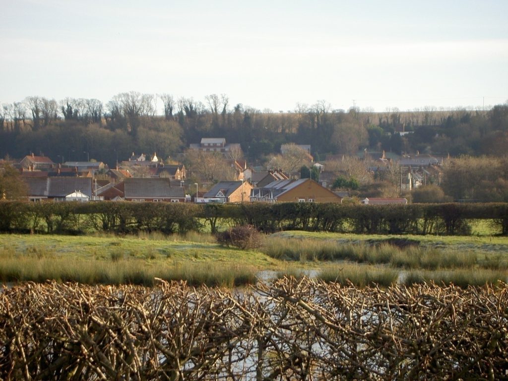
Today’s photo shows the point alongside Sluice Road, South Ferriby that was the site of a small medieval port near the mouth of the then River Ancholme which had meandered sluggishly north from Brigg. A now shallow causeway links the site to the spring line village seen beyond the bungalows to the foot of the scarp slope of the Lincolnshire Wolds and below the trees. This site ceased to function as a port centuries ago and certainly after the River Ancholme was canalised, initially in the 17th century.
Some details re recorded episodes of historic flooding on the Ancholme flood plain (s.p.b.) are as follows,
1341 ‘great flood of water of Ancholme which broke the bridge at Brigg and carried away stocks of peat’. The reference to peat is because one of the assets to local people that wetlands could provide was the humus rich topsoil which when dug in blocks and dried provided a fuel for winter cottage heating. In a largely treeless environment this could a valuable asset as was any form of heating.
1345 ‘frequent inundations of lands, meadows and pasture’. Meadows usually refers to grassland where the grasses are allowed to mature over the growing season and then mown for hay to feed cattle during the winter.
1578 the Humber had eroded ‘meadows and common pasture at Southferybye that locals are impoverished by the cost of re-building the banks’. The word ‘banks’, of course refers to clay banks (s.p.b.s).
1576 An Inquest of Sewers to raise funding to ‘refight the violente and tempestuous rage of the waters of Humbre’.
(to be continued).