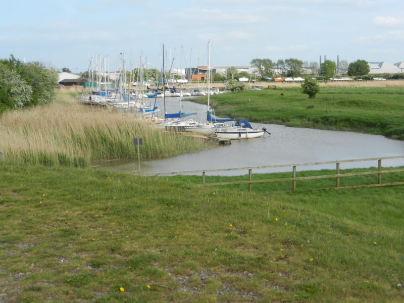
Today’s photo shows part of Brough Haven as seen from the end of south Humber bank having walked from Crabley Farm. It was in this immediate area that the Roman legions in the first century chose as their docking point having crossed the Humber Estuary from the point now called Old Winteringham. To what extent they were welcomed by the Celtic Parisi tribe is a matter of conjecture.
Having established a base, which was to expand and contract over the next 300 years, the land surveyors, the spearhead of any proposed land grab, would survey the landscape ahead of the direction in which they wished to move. These men may well have had certain basic measuring tools but their main objective was to survey (take a close look at) the regional landscape to decide on the best route for a pioneering road to take. Going north from the Haven (Petuaria) their decision was surely made easier by the fact that surveying the landscape between Lincoln and Old Winteringham they had already determined the route of Ermine Street 10 to 20m. above the floodplain of the Vale of Ancholme set into the side of the dip slope of the limestone escarpment. However, having crossed the Humber Estuary the floodplain of Wallingfen on the south east corner of the Vale of York was now on their left, not right as before. Also the adjacent highland now took the form of a scarp slope. However, the more gently sloping land at the base of the scarp slope (of the Yorkshire Wolds) allowed for a route 10 to 20m. above the floodplain.
The modern road from Brough to South Cave follows that of the Roman Road of the first century, as does the A1034 north of South Cave. At a point one mile south of South Newbald the Roman Road to York (Eboracum) diverted north west across Wallingfen south of Market Weighton, in doing so it crossed an area later to become the woodland and parkland of Houghton Hall.