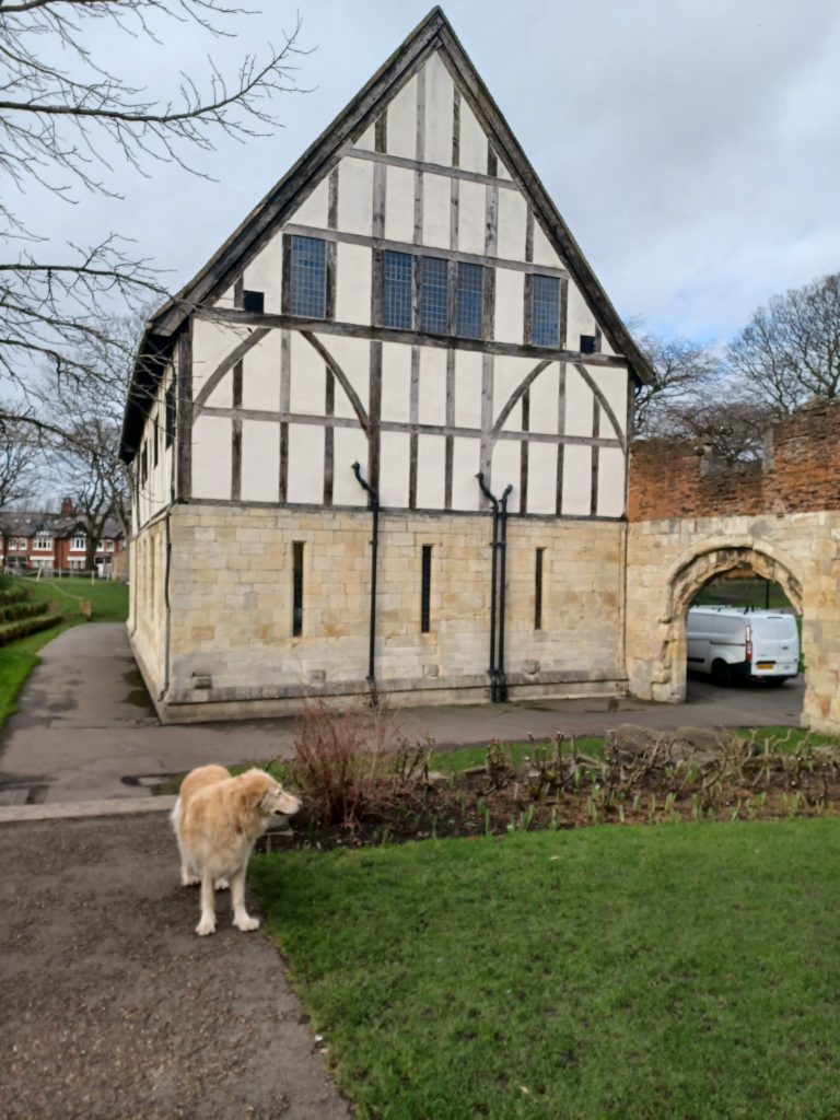
The Hospitium is a detached building between the ruined nave of St. Mary’s Abbey and the Rive Ouse. The photo above shows its south gable end. The building looks very pristine from this angle because the two southern-most bays were added in the 1930s. Elsewhere the walling of the ground floor is of 15th century ashlar blocks while the timber framing of the upper floor is partly original, partly restored. The building was heightened and given a steeply pitched roof in the 1930s. The adjoining gateway (see above) is late medieval. Also seen is one of the cultivated plots of the Museum Gardens (s.p.b.s), the shrubs carefully pruned ready for the spring growth.
Between the Hospitium and the River is a steep valley side. This is because historic York stands on a post-glacial moraine that crosses the Vale of York west to east. To the Roman legions of the first century this would have been clearly seen in their analysis of the landscape because it provided relatively dry land above the River itself and above the flood plain of the Vale of York, hence the huge Roman fortress being orientated along the hilltop. Subsequently, the Benedictine Abbey and at least part of the medieval town also took advantage of the same location for the same reason.
On the day of my visit the ground floor of Barker’s Tower (the jail, s.p.b.s) was being dried out after being flooded before and since Christmas. For this to have happened the River level must have been 20 to 30 feet above its level that day. Despite this the Hospitium and Museum Gardens on the opposite River bank remained above flood level. What did the Romans do for us?
(to be continued).