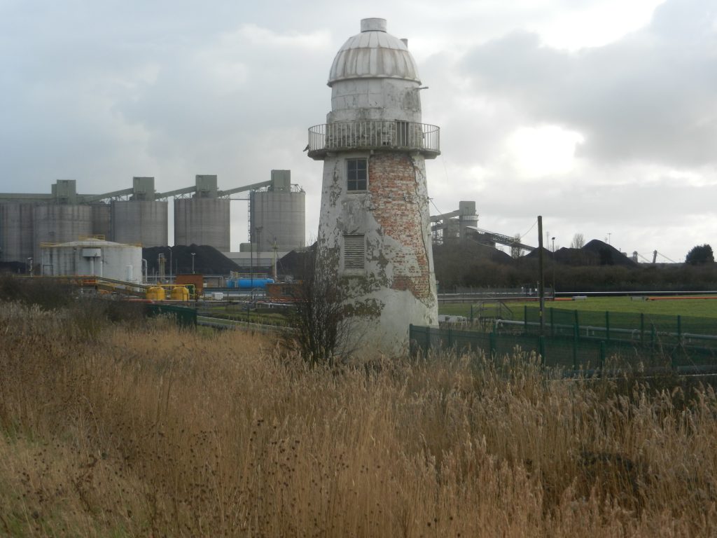
A very interesting point on the walk along the tidal barrier promenade is encountered near to Immingham Dock. Here are three historic lighthouses, the one above the only one still functioning as such, although I don’t think it’s essential. The one above, the most easterly of the three, was built in 1835 as the ‘low light’ to the nearby ‘high light’ (see later). 1835 was long before Immingham Dock was first excavated (opened 1905) or Killingholme jetties created (post-war) so this point along the south bank of the Humber Estuary would have been a lonely, even desolate, location; the spring-line settlement (village) of North Killingholme was then, as now, two miles inland. However, in terms of navigating the Estuary this was a critical point along the coast as it was where the deep water channel from the mouth of the Estuary flowed up to the coast, and then from here tracked north-west towards Paull and Kingston upon Hull, the latter part of this channel known as Hull Roads. It is this hydrology that determined the later development of Immingham Dock nearby. As described in earlier blogs, the building of two ‘lights’, one ‘high’, one ‘low’ enabled the crew of ships to know that they were in deep water once they could see the two lights in line, one above the other. The following year Trinity House had constructed a very similar lighthouse at Paull, but no high light here. It is thought that the lighthouse above included accommodation for the lighthouse keeper’s family, but the evidence is inconclusive. The lighthouse at Paull certainly did. Next blog (post) will show the high light at Killingholme.