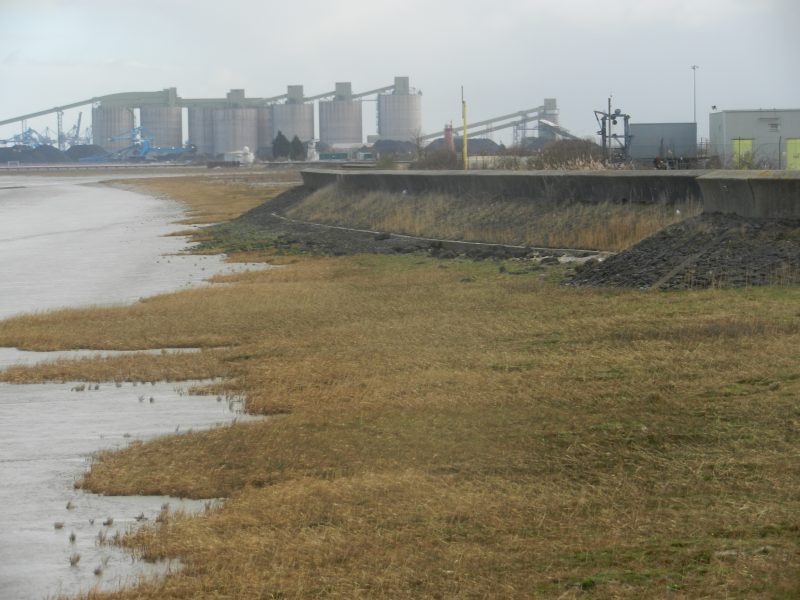
On another bitterly cold day with the wind unhindered from the north I walked the again concrete promenade (s.p.b.) from the outflow of Killingholme Beck (near the ships’ jetties) to the western boundary of Immingham Dock complex. All of the level land on the landward side of the flood defence has been reclaimed from the Humber fringe tidal marshes of times past. The dip slope of the Lincolnshire Wolds may be seen on the horizon some few miles away; here would have been an inter-glacial and post-glacial coastline of low ridges as the power of the tides would have been dissipated by the vast saltmarsh beds. On walking east from Killingholm port the Immingham port complex can be clearly seen, although walking this section takes longer than might be expected. Immediately inland along this stretch are large areas of man-made hard standing (many acres) the were temporary storage areas for imported cars when I last walked here but are now empty. Another vast area of hard standing further east was created a few years ago by the piling-up and levelling-off of thousands of lorry loads of chalk; this whole area lost to any form of natural vegetation now stands empty also. What the explanation is I do not know but have a feeling the area was to be something to do with wind turbines. In the middle of the photo in the middle distance can be seen three 19th century lighthouses, one red, two white, about which more next time.