The plan for yesterday’s walk (s.p.b.) was to walk the section of north bank flood bank between Paull and Stone Creek, the first mile or so being along the relatively new clay bank around the area of ‘managed retreat’ at Thorngumbald Marsh east of Paull Fort. I had not walked this section of bank before and was surprised how long it took. The problem with this sort of walks is that they are linear, therefore one has to factor-in doing the return walk in the time available. It was soon clear that I wasn’t going to get to Stone Creek and back, but I did get as far east as the track leading from the flood bank to Thorney Crofts (see O.S. map). Inland of the flood bank in this area are large arable fields, the high-grade topsoil being a product of millennia of decomposed saline saltmarsh vegetation prior to drainage. These fields are usually edged by wide drainage ditches, difficult/impossible to cross, so without the occasional track it might be considered a dodgy section of bank to walk.
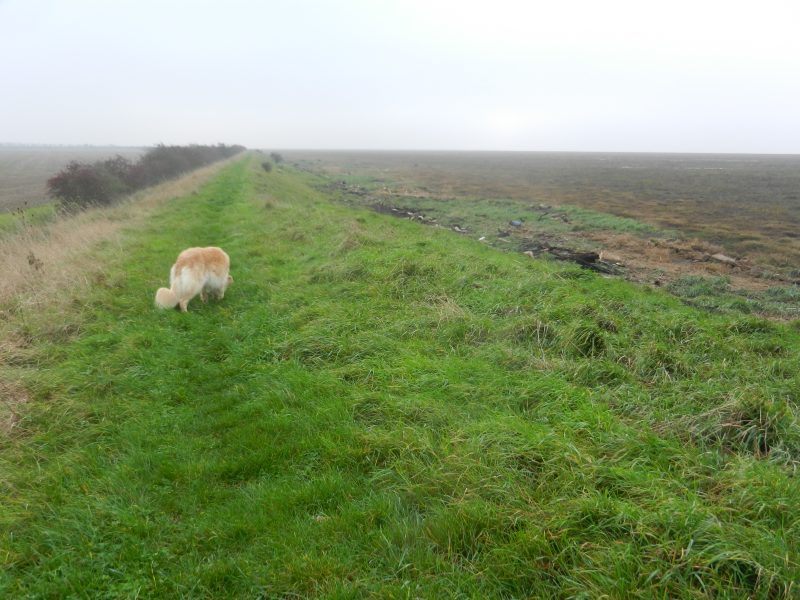
The area is characterised by wide expanses of saltmarsh vegetation on the seaward side (see photo above). These ‘sands’ (a very misleading term but one used by the Ordnance Survey) have a succession of names along this north shore, Paull Holme Sands seaward of Thorngumbald Marsh and then Foulholme Sand further south-east.
Walking the north bank to Spurn Point is going to take a number of visits.
Having got inland I had a choice, use the local lane system to get back to Paull or return along the bank. I decided on the former but ended up walking a long way.
This area is characterised by a very low density of population, very little traffic and, on a day like yesterday with no wind, a quietness rarely found elsewhere.