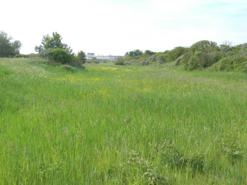
Unfortunately, my photos recently taken of the two forts out in the Estuary came out fuzzy and so my pictures for this sub-topic will be of sections of the lowland coast between Cleethorpes Leisure Centre and Humberstone Fitties. The one above shows a section of now inland, once beach, land between two ridges of old sand dunes running parallel with the coast. The now non-saline vegetation is delightful. This area of Lincolnshire’s lowland coast is experiencing accretion as a result of coastal erosion along the Holderness coast; indeed, seawards of the point shown another linear ridge of low sand-dunes is developing which will eventually result in the desalinisation of the current high tide area – climate change apart.
Early in the article (s.p.b.) the writer speaks of ‘Grimsby’s monumental accumulator tower’, of the Humber waters ‘clear and sparkling’ and of the working lighthouse and the keeper’s accommodation.
By the time of this article Grimsby’s Dock Tower had been decommissioned (1895), having been built in 1852 and officially opened by Queen Victoria in 1854. The brick-walled tower had at its top a large water tank, the water when released into the downpipe generated sufficient power to open the lock gates at Grimsby Dock and power a few cranes on the Dock side. It was not just built, but built to elegantly seem like a Tuscan campanile, like Withernsea’s pier-head buildings also reflecting a much earlier distant structure. Not only elegant but the tower tapered to the top somewhat like a tower mill (windmill). Although now disused for over a century it has the highest level of status awarded to historic buildings and in clear weather is visible from most places in south Holderness from Paull eastwards.
As to the Humber waters being ‘clear and sparkling’ there can be no reason why the Estuary’s waters should have been any less murky in 1914 than now. Maybe he was getting a ‘back-hander’ from the Humber Tourist Board!