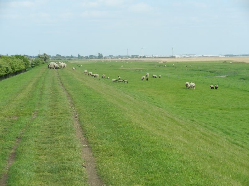
Continuing west from Brough Haven and marina along the top of the clay bank flood barrier towards Crabley Farm the Humber foreshore and bank is clearly rented-out to a local farm (probably Crabley Farm) for grazing rights. It is essential to keep dogs on a lead in such areas. In the photo above, looking east, the once British Aerospace construction site (s.p.b.) can be seen in the middle distance while beyond the south tower of the Humber Bridge is just visible in the heat-haze.
Presumably, either this section of Humber Bank has been considered sufficient by the Environment Agency to prevent flooding onto neighbouring farmland across the next two generations despite rising sea levels and Climate Change, or, necessary work has not yet begun. The latter possibility seems unlikely as the clay bank fronting Brough itself (and the industrial site, s.p.b.) was one of the first areas to have a new flood defence wall built on top of the clay bank. That said, urban areas are given a higher status in flood defence proposals than agricultural areas. In fact, the arable fields north of the clay bank (just left of the picture above) were traditionally seen to benefit from controlled flooding, a practice known as ‘warping’, fields being allowed to flood in turn and leaving the fertile silt time to seep into the top-soil. Ingress and egress of estuarine water, or from the lower River Ouse, was controlled by small locally-built sluices set-in the clay bank. In some areas, further up the River Ouse in the Selby area for example, the Environment Agency has an agreement with local landowners to allow flood waters onto their land to reduce the risk to nearby built-up areas.
As can be seen from the above photo clay banks were not symmetrical. The shallow slope seaward is so shaped to defuse the erosive power of storm waves, this not needed on the landward side.
(to be continued).