Having passed the hazardous foreshore at North Ferriby walking west, west of the shelter belt (s.p.b.) the foreshore becomes much more accessible plus there is a public right of way along the top of Ferriby (North) Cliff along the field-side. Ferriby (North) Cliff is a low sandy cliff being matched exactly by the same geo-physical structure at Ferriby (South) Cliff. As previously stated, this seems to me to be like an interglacial low moraine subsequently breached by the Humber Estuary but this not supported by the official geological map. Whereas on the south Cliff a band of material is frequented by sand martins for nest making this does not seem to be the case at Ferriby (North) Cliff. Nevertheless, here marine erosion has led to the creation of a sandy beach where children can play on the sand along this stretch of coastline (on the South Bank the same sort of beach once existed and some residents remember playing there as children; the sand has now been eroded away).
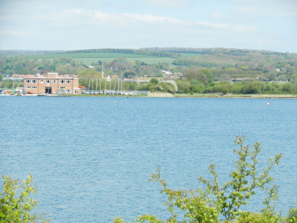
Continuing west on the north bank the end of Brickyard Lane is passed, this evidence of bygone local industry utilising the estuarine clays, as, of course, was/is the situation across the Estuary in the parish of Barton upon Humber. Further west Welton Water is encountered (see photo on blog two of this topic) , this a large body of water, presumably quite deep as reedbeds are confined to the perimeter, possibly a result of clay digging in past times. Looking south across the Estuary the, now mothballed, South Ferriby cement works stands in profile. This another Humberside industry which utilised a locally-sourced raw material (see later).
Having passed Welton Water the clay bank is walkable through to Brough Haven, although the footpath is narrowed by self-sown bushes and shrubs either side. A long stretch here has on its landward side a large grassy open space which used to be utilised by British Aerospace.
(to be continued)