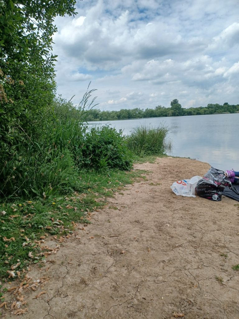
Sorry, but again the photo has presented sideways and I cannot find out how to change it. The photo shows part of Eske Carrs wetland nature reserve administered by the Yorkshire Wildlife Trust. It covers the whole of a meander in the middle section of the River Hull, a couple of miles north of Beverley. There is a public right of way around the lake section of the reserve but one afternoon last week the south section of the footpath, alongside the River Hull, was too overgrown to gain free access. The photo shows a small section of the lake-side which gave access to the water’s-edge and provides views across the lake, including an island. To what extent this whole area is a man-made feature I’m not sure, but I suspect that the lake was excavated and the island created from from a natural boggy area. Overflow pipes with water flowing from the lake to the River Hull bank-side were seen, this, perhaps, surprising given the dry weather of late. I’m also not sure to what extent the River Hull is partly saline this far inland on flow tides, or whether partly saline water could back-flow up the overflow pipes to the lake.
The simplest way of accessing this wetland area is to walk the River Hull east bank from Hull Bridge (parking available and a public house). The west bank of the River Hull is a public right of way also, around the meander with a section of the Beverley and Barmston Drain alongside. If walking this bank it allows a good look at Arram Beck (Catchwater Drain) where it flows into the River Hull having crossed an aquaduct carrying its waters over Barmston Drain. This is one of a number such aquaducts along the course of the River Hull.
The walk from Hull Bridge to the nature reserve passes the undulations in permanent pasture revealing the site of the much studied deserted medieval village site of Eske.