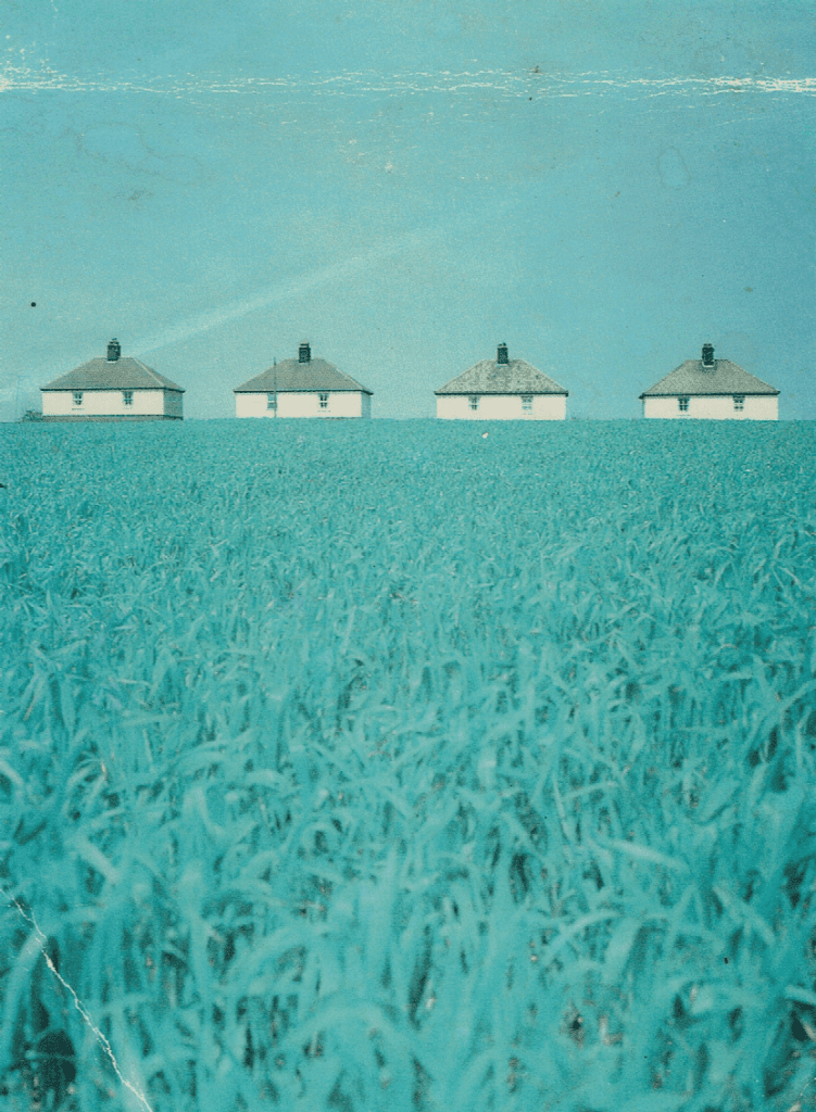
So to close our case study of inter-war rural council housing in south Holderness it is clear that the newly formed Holderness R.D.C. (s.p.n.s) made a considerable impact on housing accommodation within the region (s.p.b.). Although the new council houses included inside water closets, a very modern asset for low-paid families, no electricity supply was made available until after the Second World War, and then only piecemeal and usually at the tenant’s expense. So the first tenants of these new houses read of the outbreak of war from newspapers lit by oil lamps or by candlelight (no wireless if no electricity).
These new houses were invariably on the edge of the village where a local farmer was prepared to sell a strip of field alongside a road or lane sufficient for the houses and gardens to be created. As previously stated, the dimensions of ground-plans for council houses approved by the government, and hence the regional housing inspector, had been reduced over the two decades to reduce this burden on the public purse. However, they were still being built at eight or sixteen to the acre, this allowing for substantial gardens by today’s standards.
Aspect, so important a criteria to Unwin and Parker (see later), remained a factor in decisions on layout plans for inter-war housing and constantly emphasised by the Ministry of Health. This denounced grid-plan streets which took no account of direction, preferring winding access roads which allowed each house either side of the road to get some direct sunlight into at least one regularly used room.
One rule of thumb that generally holds (but not 100%) is that inter-war council houses were built with hip roofs, post-war gable ridge roofs.
Thus the picture seen in the above photo, an edge of village, hip-roofed series of three-bedroomed houses, the pride and joy of their new tenants although requiring a higher rental than their previous accommodation. (maybe I will not now use this photo again!)
(to be continued)