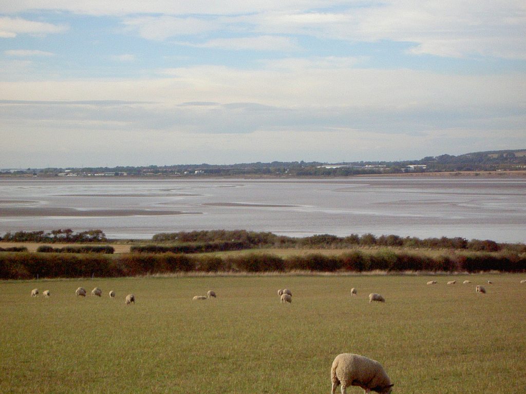
Following on from the last blog (extract of the upper-Estuary from Scott’s map of the Humber Estuary) today’s view looking west-north-west, shows most of the upper Estuary, not quite to Trent Falls, as seen from the west end of Westfield Road in the parish of Barton on Humber. The hedgerow crossing left to right forms the parish boundary between Barton and South Ferriby and on this side of that hedgerow archaeologists have discovered traces of a Romano-British ladder settlement. The field in the foreground was, until a few years ago, arable but then sown with grass and resulting in a ‘sheep grazing scene’ such as would have been the characteristic scene along both banks of the Humber in the Middle Ages and early modern eras.
Across on the north bank of the Estuary can be seen the lower scarp slope of the Yorkshire Wolds (on the right) with South Cave, North Cave and Hothom as spring-line settlements (not visible), the lowland plain of the south-east section of the Vale of York stretching away, this area traditionally known as Wallingfen.
The mudflats just visible are evidence that the upper-Humber is a difficult to navigate waterway, this confirming the evidence from Scott’s map (s.p.b.). On average once a month the ports authority survey the bed of the upper and middle-Humber to provide evidence for ship’s pilots navigating up to Goole or York or to ports down the River Trent. With the hazards to navigation being mudflats it is not so much the dangers associated with rocky coastlines but the danger of running aground, getting stuck and, if not freed on the next few tides, eventually the ship ‘breaking its back’. An inventory of ships ‘lost’ in the upper and middle-Humber is displayed on an information board at Brough Haven.