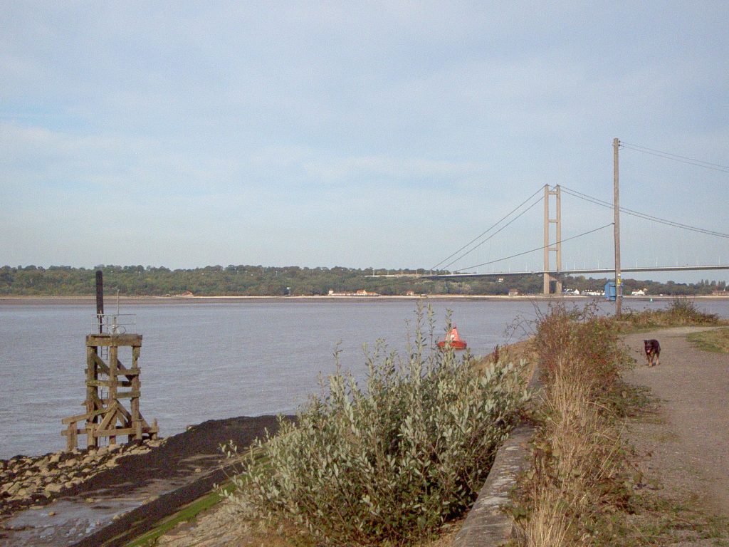
Today’s photo. shows a view across the Estuary from the south bank. This particular point along the coast is known as Chowder Ness, a curious name, its etymology being unknown to me. As along much of the south bank, the coastline here is a man-made sea bank and ‘promenade’. I think this is one of the points where blocks of Scunthorpe slag have been bonded together to create the sea-wall, much of this work having been done after the 1953 floods along the North Sea coast. The waters on this south bank bend in the Estuary are particularly turbulent both at ebb tide and flow, this may explain the wooden structure just off-shore which seems to have been a support for a navigational light. I don’t think it still functions as such but, although the deep-water channels change over time, shipping travelling up-Estuary on the incoming tide pass this point very close to the shore and arking round the coast of South Ferriby are anchored a number of metal green and red light-boats. In the middle distance can be seen the north tower of the Humber Bridge, Hessle foreshore and the lower dip-slope of the Yorkshire Wolds.
AlthoughI will continue the Views of the Humber theme for a while I have been taking stock of my blogs over the last three years and have identified which ‘runs’/titles might best be expanded to extended articles, a project which will be long-term one but which will present the finished products in a more acceptable and available form. The first one I’m about to start is entitled ‘Hull’s Historic Communities’ which incorporates blogs between 4/02/2020 and 15/07/2020, a total of 45 blogs (my longest run).